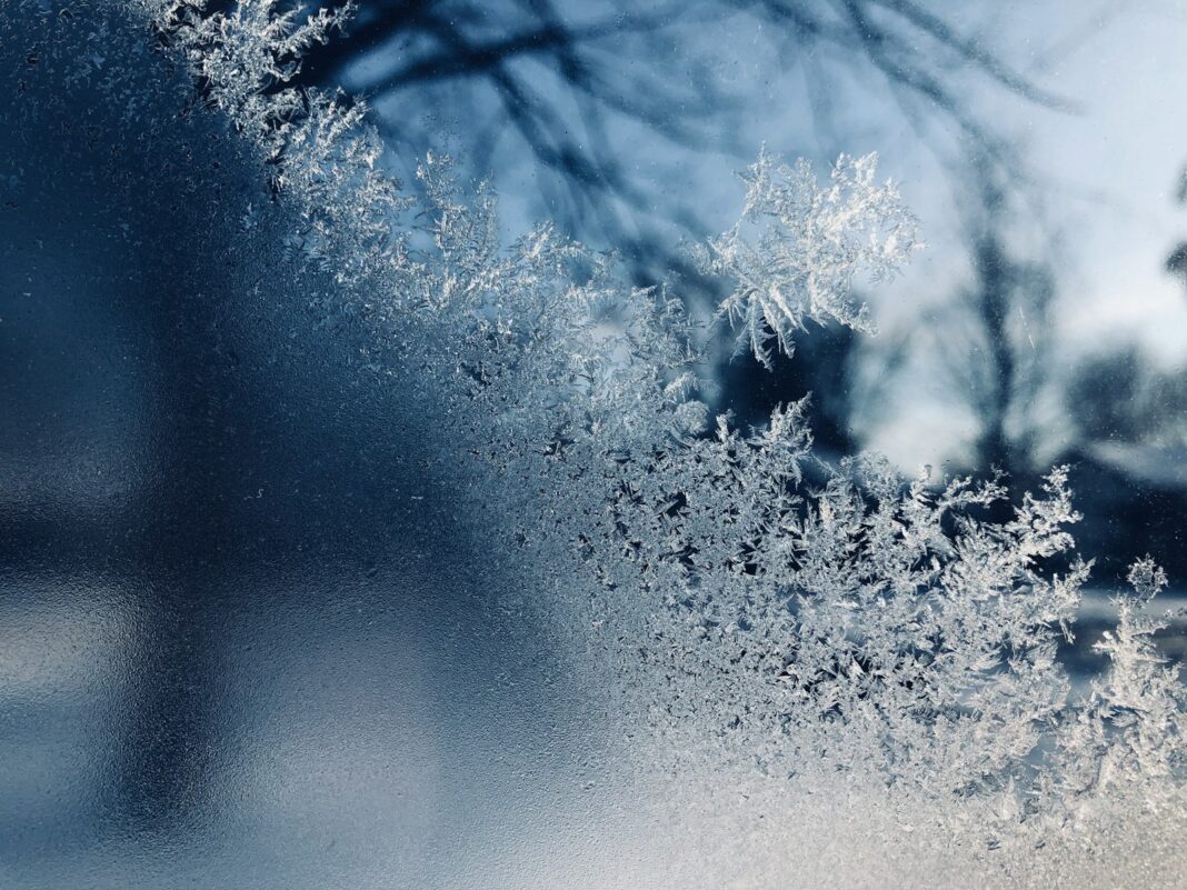
The mild weather is over, with extreme Arctic cold arriving this week and daytime temperatures dropping to minus 10 degrees Celsius.
Original reporting from Karpatmedence. Extreme Arctic cold will put an end to the mild weather this week, with temperatures dropping to minus 15 degrees at night and minus 10 degrees during the day. An Arctic cold wave is expected in Central Europe this week, replacing the unusually mild weather we have seen recently. The strongest cooling may begin around December 23, and a prolonged cold spell can be expected. So much so that daytime highs are expected to range between minus 10 and 0 degrees Celsius. At night, lows between minus 5 and minus 15 degrees Celsius may develop.
The main reasons for the change in weather are the high-pressure system developing over Northern Europe and the polar vortex disturbance in the Atlantic Ocean, according to blikkruzs. A white Christmas is unlikely because, although it will be cold, current forecasts do not predict any precipitation.
Siberian cold brings sudden drop in temperatures
A significant change in the weather is on the horizon, with Arctic cold expected to reach our region within days. After an unusually mild December, we must prepare for a sudden cold snap. This could affect everyday life and holiday preparations. According to the latest forecasts, the change will come earlier than previously expected.
The beginning of the month has been characterized by mild, autumnal weather, with temperatures above 10 degrees Celsius in some places. However, the latest meteorological models already show that a cold air mass is moving in from the east. It will also reach Central Europe. This process fundamentally rewrites previous expectations.
According to calculations, the cooling could begin around December 23. Both American and European forecasts confirm that a significant cooling is expected during the holidays. However, there is still uncertainty about the extent of this cooling.
Nighttime temperatures in Hungary could reach minus 15 degrees Celsius
Weather models are not entirely consistent in predicting whether it will simply be colder or whether there will be a real, severe Arctic cold spell. This would be accompanied by easterly winds and very low temperatures. According to some scenarios, there could even be days of ice, when the daytime high temperature would be between -10 and 0 degrees Celsius.
It may be even colder at night, with minimum temperatures between minus 5 and minus 15 degrees expected in some areas. This is especially true around the holidays. The cooling is caused by another polar vortex developing in the Atlantic Ocean. This allows the frosty air to reach further south.
The influx of cold air is aided by a high-pressure system developing over Northern Europe, which can carry the freezing air masses further south with easterly winds. This atmospheric situation is conducive to a prolonged cold spell, even if it is not accompanied by precipitation.


